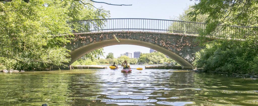
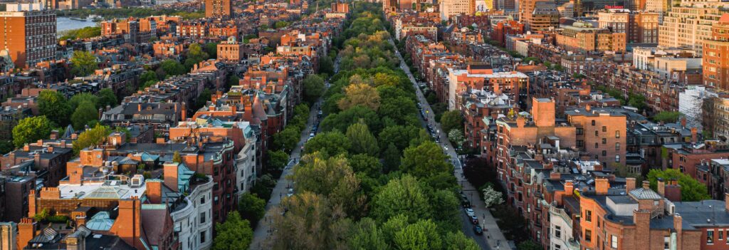
Getting To Boston
information for traveling to and from Boston
By Air
With non-stop international services from 56 destinations and non-stop domestic service from 77 destinations, Boston’s Logan Airport means getting to the region has never been easier. There are approximately 40 airlines that serve Boston and three hotels located on the airport premises and the Airport itself is only two miles north of the city center.
To use public transportation, follow the signs for Ground Transportation upon arrival:
- Bus: A free 20-minute bus service (Silver Line 1 – SL1) to South Station and South Boston Waterfront/Seaport (both in downtown) or the On-Airport Shuttle network (Routes 22,33,55 and 66) linking terminals with multiple other locations; including the SL3 and the Blue line (subway).
- Ferry: By taking the On-Airport Shuttle bus Route 66 to the Water Transportation Dock
- Taxi: ride takes about 20-minutes and costs $20-$35 one way or Rideshare (such as Uber and Lyft) is also available from the designated areas.
- Car Rental: This is a 10-15 minute trip from all terminals using the On-Airport Shuttle bus network (Routes 22, 33, or 55).
Boston Logan International Airport is about 1-1.5 hrs from Boston Stadium. The region also benefits from three other domestic airports:
- Manchester-Boston Regional Airport: In Manchester, New Hampshire and about 60 minutes from central Boston and 1–1.5 hours from Boston Stadium.
- T.F. Green Airport: In Providence, Rhode Island and about 60 minutes from central Boston and 35 minutes from Boston Stadium.
- Worcester Regional Airport: In Worcester, Massachusetts and about 60 minutes from central Boston and 60 minutes from Boston Stadium.
By Train
Downtown Boston is well connected by train: Amtrak offers longer distance services across the USA, while the Massachusetts Bay Transit Authority (MBTA) runs regional / commuter services.
Longer distance train travel: The operator, Amtrak, offers convenient services linking Boston with major cities throughout the Northeast, including Washington DC (about 7 hours) and the FIFA Football World Cup Host Cities of New York / New Jersey (4 – 5 hours) and Philadelphia (5 –7 hours. Amtrak’s services run to/from Boston’s Back Bay (Orange Line), South Station (Red Line). Amtrak services from Maine connect at North Station (Green/Orange Line).
Local and regional train travel: Boston’s Commuter Rail network is run by the Massachusetts Bay Transportation Authority (MBTA). It links central Boston with its outlying suburbs from several central stations most notably North Station, South Station and Back Bay Station. The MBTA also operates a local network of bus, trolley bus, subway and ferry services known locally as the ‘T’.
By Car
Boston’s location on the Eastern Seaboard makes it accessible by car. You are advised to use your preferred internet trip planner or in-vehicle navigation system for detailed directions; however, the following is intended as a rough guide.
From the North: From the northwest, Interstate 93 South enters Downtown Boston from Canada through Vermont, New Hampshire and northern Massachusetts. For Downtown Boston from Maine and points northeast, take Interstate 95 South to Interstate 93 South.
From the South: Take Interstate 95 North to Interstate 93 North to enter Downtown Boston from the south.
From the West: The Massachusetts Turnpike, or Masspike, is Interstate Highway 90, and 90 East runs directly into Downtown Boston from the west.
Expect road closures, turn restrictions, and traffic shifts around downtown and Boston Stadium during the Tournament. Please allow extra travel time and check area guides for specific details.